Hiking the Gentle Giant: Mt Moosilauke, NH
- Oct 15, 2020
- 4 min read
Updated: Apr 20, 2025
Hike distance: 10.0 miles
Elevation Gain: 2,774 ft elevation gain
Prominence: 2,932
TrailsNH Hiking Difficulty Calculator: 236 – Very Strenuous

Click here for a review of prominence and its role in mountain topography
Click here to navigate to the TrailsNH website for a description of the hiking difficulty calculator
I wanted to knock off another '4000 footer' hike before the end of Daylight Saving and the onset of colder and snowier weather. I set my eyes on Mt Moosilauke, but unfortunately I had to hike it alone since Dave was still nursing a sore foot.
The Moosilauke Ravine Lodge was close and road access limited so I had to park 1.7 miles from the trailhead.

Once I arrived at the lodge, I could see today's destination. Mt Moosilauke is the peak located right of center just above the trees. Although from this perspective the South Peak (left of center) appears taller, it is actually 279 feet shorter than Mt Moosilauke.

For the hike, I selected the out-and-back Gorge Brook Trail. It provided a moderate ascent to the summit with reportedly excellent views of the Franconia Ridge along the route. From the trailhead, I descended past several buildings and huts to a bridge over the Baker River. The river's flow was minimal for this time of year.

After the river crossing, the trail split off and began following the Gorge Brook - climbing steadily alongside the brook.

The trail crossed the Gorge Brook on several rudimentary bridges.

I loved the sound of water falling over the debris and rocks; it's peaceful and calming. Especially since I couldn't see anyone else on the trail.

The trail segment beyond the bridge was rerouted in the 1990s due to significant damage from Tropical Storm Irene. At the next trail intersection, I proceeded along Gorge Brook.

The trail climbed steeply with more rocks, roots and erosion evident.


Every once in a while some well-placed rock stairs provided a break.

There were several clearings in the forest that provided picturesque views of the nearby mountains.

Even more remarkable were the views to the north, where the distinct peaks of the Franconia Range could be seen in the center of the image below.

In this photo, the nearest mountains are the Kinsman Range, followed by the Franconia Range, and the farthest are the Presidential Range. The summit offers even better views.


The path climbed through rocky switchbacks, with trees becoming shorter and the forest thinning out.


I arrived at the scrubby false summit, and there was only one other person visible.

For another half mile the trail flirted with the tree line but in the distance, there was a clearing offering glimpses of the exposed summit.

Emerging from the tree line and entering the alpine zone with the summit directly ahead.

Once out in the open, the temperature easily dropped 10-20°. Rarely do I get cold hiking but at this point I had to add a long sleeve jersey and a second insulated top to stay warm.

Just a short climb to the broad treeless summit but each step brought more powerful wind gusts. Being the westernmost high peak in the Whites, Moosilauke directly faces winds from the west.

The wind at the summit was blowing so hard that I had to brace myself between rocks to take this picture. Lesson learned, always research and prepare for a hike. Don't just familiarize yourself with the trails, but also read reviews by other hikers/bloggers you trust. In my case, I read several reviews that stated, 'The summit is very exposed, often windy so prepare for rapid weather changes and drops in temperature. These 360-degree views come with a risk of exposure.'

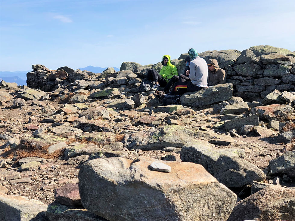
There were a handful of people out in the open on the summit.

Most people were sheltering from the wind in what's left of the 19th century summit buildings. In 1860 the Prospect House, a stone hotel opened on the summit of Moosilauke. It went through many changes over the years, including an appropriate name change to the 'Tip-Top House'. However, in the 1942, the hotel that had withstood hurricane force winds fell victim to fire. Here is what's left of the stone buildings foundations.
I discovered some scattered rocks, sheltered from the wind, and had a quick lunch.

I descended from the summit following the same Gorge Brook trail as I had used to ascend Mt Moosilauke.

Once off the summit it was easier to take pictures and enjoy the outstanding views.

Many regard this as one of the most spectacular mountain views in all of the Whites. I could focus on the Franconia Range (left of center), with the towering peak of Mt. Washington visible at the top far right.

Soon enough I was out of the wind and back on the tree-lined trail leading to the false summit.

I find descending a rocky trail more challenging than ascending it.


A short selfie break when the trail reached the Gorge Brook bridge crossing.


Near the Baker River bridge and close to the trailhead, I still had a 2-mile walk on the access road to get to my car.

At the Ravine Lodge with one final look at Mt Moosilauke. It's the 6th 4000 footer mountain we've climbed to date. Only 61 more to go!

Hike Distance: 10.0 miles
Duration: 5.8 hours
Average Pace: 35 min/mile


Thứ khiến mình dành nhiều thời gian quan sát ở gun88 là cách giao diện giữ được sự cân bằng dù có khá nhiều danh mục khác nhau. Mình lần lượt mở Slot, Casino trực tuyến rồi chuyển sang game bài trước khi xem khu hỗ trợ khách hàng. Sau đó mình tiếp tục khám phá phần thanh toán để có cái nhìn tổng thể. Điều mình nhận thấy là mọi chuyên mục đều được sắp xếp khá trực quan và hạn chế cảm giác rối mắt. Với mình, đây là yếu tố giúp việc khám phá nền tảng trở nên thuận tiện và dễ chịu hơn.