Enjoying the Towering Granite Cliffs of Suicide Rock, CA
- Jun 24, 2021
- 4 min read
Updated: Apr 20, 2025
Hike distance: 7.9 miles
Elevation Gain: 1,866 ft elevation gain.
TrailsNH Hiking Difficulty Calculator: 172 –Strenuous

Click here for a review of prominence and its role in mountain topography
Click here to navigate to the TrailsNH website for a description of the hiking difficulty calculator
With summer baking the Coachella Valley, we decided to beat the desert heat and start hiking in the oak trees at 5,560 feet near Idyllwild-Pine Cove in the San Jacinto Wilderness and State Park. Wilderness permits are required as well as an Adventure Pass ($5) for parking.

The hike started on a clearly marked trail among the oak trees and evergreens.

After a short distance we entered a grove of manzanita bushes. There are about 60 species of manzanita in the world, and incredibly, 57 of these are found in California. Most of these are endemic to the state and found nowhere else.

They are characterized by smooth orange or red bark and stiff, twisting branches. California is the undisputed homeland of these hardy, drought-tolerant shrubs.

This dead manzanita highlights the twisted branch structure. Pretty amazing to see bare.

After a quarter mile, we entered the the Mount San Jacinto State Park and State Wilderness with a not so subtle sign that warns against rattle snakes and mountain lions and the prohibition of dogs on the trail.

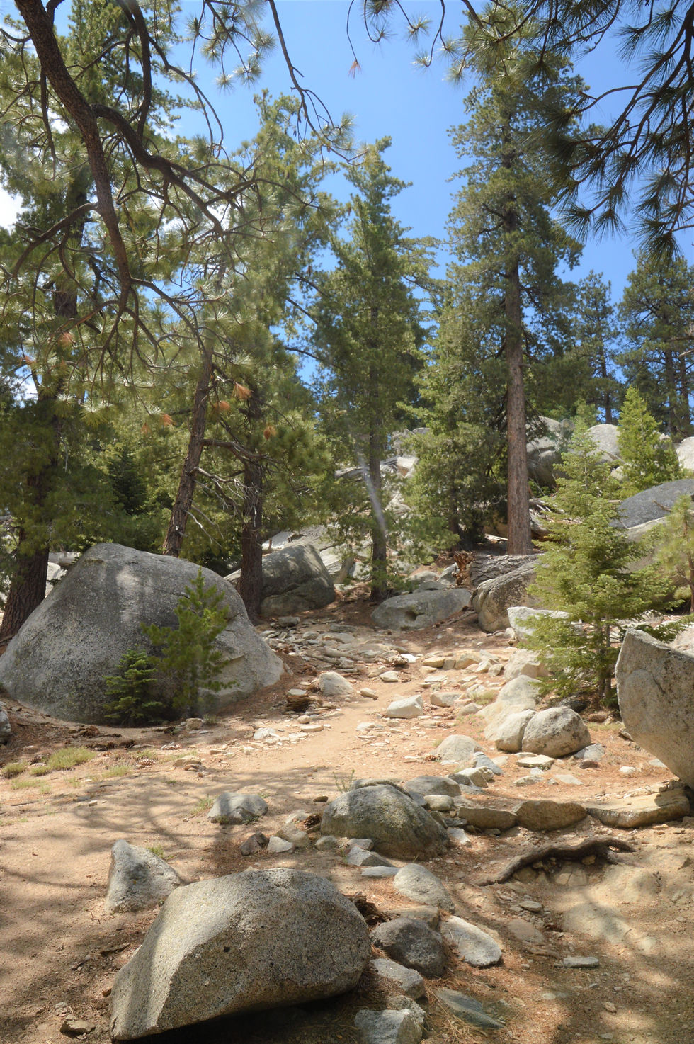
Throughout the entire hike, the path was always well worn and clearly visible.

After 3/4 of a mile you reach an overlook that provided amazing views of the surrounding the San Bernardino Mountains.

We had our first view of Tahquitz Peak and Lily Rock. Tahquitz is the 8,846-foot-tall rock formation on the high western slope of the San Jacinto mountain range. The peak can be reached from multiple trails originating in Idyllwild and from the Palm Springs Aerial Tramway via a ten-mile hike. The large protruding rock formation on the foreground is Lily Rock, formerly known as Tahquitz Rock. This white-colored rock formation is a mecca for rock climbing enthusiasts.

There were plenty of opportunities to observe wildflowers along the path. Despite the horrendously high temperatures in the valley, the temperatures at these elevations meant more flowers in bloom including this cobwebby thistle. The plant is widespread and fairly common across most of California, in its mountain ranges, valleys, and the Mojave Desert.

beautiful woolly pod milkweed which are important to Monarch butterflies

an isolated lemon lily we found along the banks of a small stream

Perhaps the most interesting flowers were in this field of 3 to 4-foot-tall lupines.

By now the manzanitas and oak trees had given way to pines.

The sugar pine tree, often called the ‘king of the conifers’, is the largest of all pines and grows to an average height of 130-190 feet. It is surpassed by only a few other coniferous trees in terms of sheer bulk.

Not only are these trees tall but they're also thick. Several trees along the trail were 5 or more feet in diameter. The bark on young trees is dark grey and smooth but on mature trees, like this one, the 1-inch thick bark is dark reddish-brown with deep vertical grooves and ridges with a scaly appearance. They may not be sequoias but they are quite impressive up close.

However, what was most amazing about these trees were the pinecones that can grow upwards of 20 inches. These tasty treats are prized by squirrels who devour them once they fall to the ground. We managed to find this pinecone with minimal squirrel damage.

Stands of incense cedar trees were visible along the trail. These trees are one of the most fire and drought tolerant plants in California. The native range for cedars extends from central western Oregon through most of California and the extreme west of Nevada. Incense cedar’s bark is very thick; it's 2–3 inches thick on younger trees, but can be as thick as 6–8 inches on more established trees.

Wolf lichen covered this dead cedar branch. The stark contrast with the branch is what caught our attention. The lichen is bright yellow-green, shrubby and highly branched, and grows on the bark of living and dead conifers.

We spotted a desert spiny lizard sunning itself on a rock. Like many desert lizards, the desert spiny lizards adjust their internal temperature by changing color so they are darker during cool times, which allows them to absorb more heat from the sun, and become lighter during warm times so they reflect more solar radiation. The desert spiny lizard also uses camouflage to confuse predators.

At about 2.5 miles is a trail junction where you follow the signs to the Suicide Rock Trail and the final stretch to our destination.

After the trail split, Tahquitz Peak and Lily Rock were visible from a number of spots. After a slight climb, the trail exits the forest onto a rock clearing.
Originally known as Suicide Peak in the mid 1940's, Suicide Rock was renamed because investigation reports the 'feature' was a rock outcrop not a peak. This photo of Suicide Rock was taken from the Devil's Slide Trail. They say a picture is worth 1,000 words, well this photo does it for Suicide Rock.

Large boulders were scattered on the rock plateau.

Walking to the edge provided excellent views. According to legend, the name of Suicide Rock comes from a story of a Native American princess and her lover who, after being ordered to separate, instead committed suicide by jumping off the rock. Looking down from the ledge, it's possible the story is true.

Looking down from the edge and the valley 400 feet straight down. This place is a rock climbers paradise with its 27 different walls of fun.

Of course the best views are saved for last, the panorama view of Tahquitz Peak in the background with and Lily Rock (aka Tahquitz Rock) in the foreground.

A great escape from the desert heat hiking Suicide Rock that lies just outside the boundary of the Santa Rosa and San Jacinto Mountains National Monument.


I don't think I've ever heard of manzanitas, but they sure are beautiful bushes. I can see why the sugar pine tree is also called the ‘king of the conifers’.